


4.6 km | 11.9 km-effort


User GUIDE


FREE GPS app for hiking
 SityTrail
IGN / Geographical institutes
SityTrail World
The world is yours!
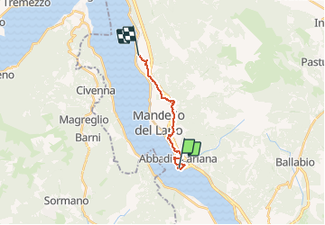
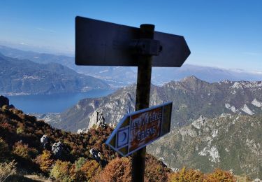
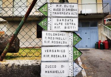
Trail Walking of 12.1 km to be discovered at Lombardy, Lecco, Abbadia Lariana. This trail is proposed by rvapeldo.
 12 km - Photo 1")
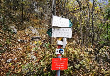
 12 km - Photo 2")
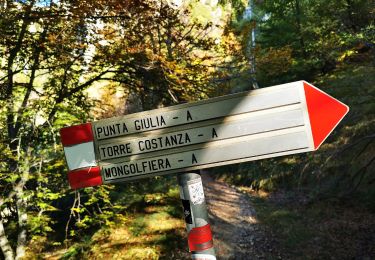
 12 km - Photo 3")
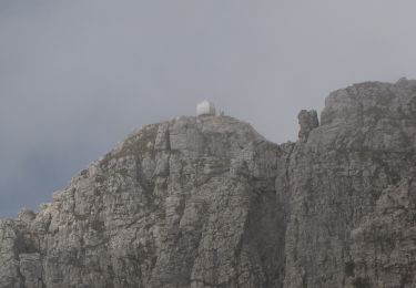
 12 km - Photo 4")
 12 km - Photo 5")
 12 km - Photo 6")
 12 km - Photo 7")

On foot
On foot

On foot

On foot
On foot
On foot
On foot
On foot
On foot